
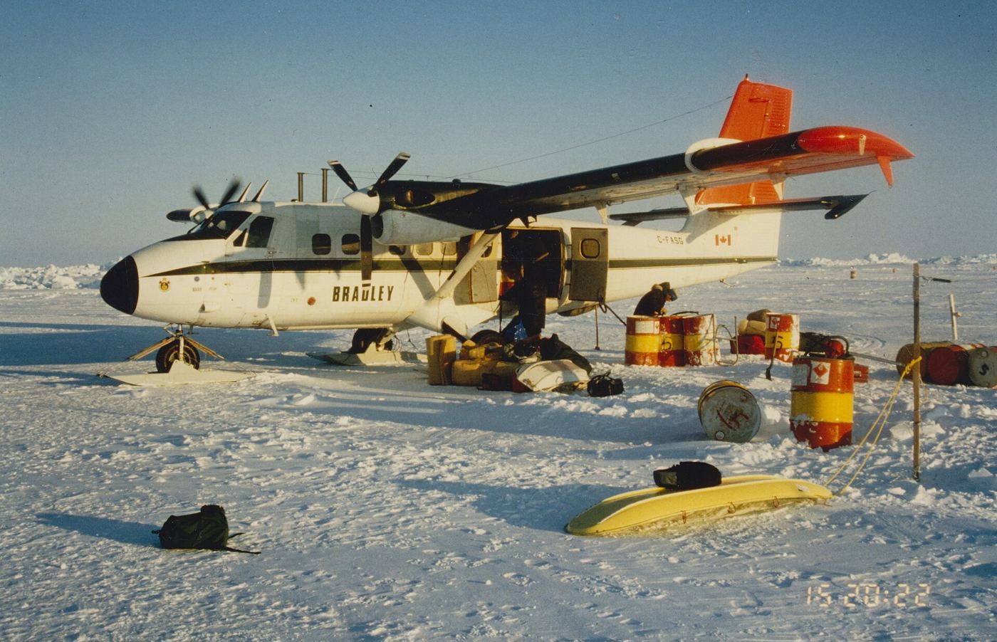
Measuring Arctic sea ice thickness matters as much as mapping how far it spreads, and satellite instruments are now delivering that harder measurement across the polar ocean each winter. Radar and laser altimeters estimate thickness by measuring how much ice rises above the waterline, combined with snow depth data that remains one of the trickiest parts of the calculation. The emerging record shows a clear shift. Thick, old ice that survived many summers has declined, replaced in many regions by thinner first year ice that forms each autumn and melts more readily when temperatures rise. That change affects everything from polar bear hunting platforms and Indigenous travel routes to shipping forecasts and the stability of the ice itself under wind and currents. Thickness data also improve seasonal forecasts, because thin ice at the end of winter is a strong clue to how much open water, with its heat absorbing darkness, will appear by late summer. Scientists validate satellite readings with aircraft surveys, drilled measurements and autonomous buoys frozen into the ice, a laborious process that steadily tightens confidence. The picture is of an Arctic becoming more seasonal, more mobile and less predictable for the communities who know it best.
What the Evidence Shows
Open publication of thickness data has widened who can use it, from forecasters planning safe ice roads to ecologists timing fieldwork around break-up. Researchers are also combining thickness with drift records to calculate how much ice, and the freshwater it stores, is exported out of the Arctic into the North Atlantic each year. That export influences ocean circulation and the ecosystems of subpolar seas, linking a measurement taken over remote ice to fisheries far to the south. Model builders use the satellite record to test whether climate simulations reproduce not just the area of ice but its volume and age structure, a stricter test that exposes weaknesses area alone can hide. Continued monitoring matters because the trend is not smooth, and a run of cold winters can thicken ice temporarily without reversing the longer decline. Only an unbroken record can separate weather from climate in the far north. Shipping companies watch the same record with commercial interest, yet scientists stress that thinner, more mobile ice can be more dangerous, not less, because it moves unpredictably and offers no stable platform. Reporting and analysis from sources such as Nature track the same developments, and specialists following satellite tracking Arctic sea ice thickness say the direction is now consistent across independent lines of evidence.
The Wider Context
The wider context is a research landscape in which replication and open data now decide reputations. Findings connected to satellite tracking Arctic sea ice thickness are being checked by independent groups with shared datasets, and the teams involved publish their methods in full so rivals can test every step. That discipline is slower than a headline cycle, but it is why results in this area increasingly survive first contact with scrutiny.
What Happens Next
What happens next in the story of satellite tracking Arctic sea ice thickness will be decided by follow-up work already under way: larger samples, longer observation and instruments that have not yet come online. The researchers involved are unusually united on one point, that the current results justify the next investment of time and money. Readers will not have to wait long for the first tests of that claim. You can follow related developments in our coverage of science.
None of this will be settled by a single announcement, study or product launch. The pattern to watch is accumulation: independent confirmations, honest reporting of failures and steady improvement in the underlying numbers. Readers who follow those signals, rather than the loudest claim of the week, will understand this subject better than most of the commentary surrounding it suggests is possible.
